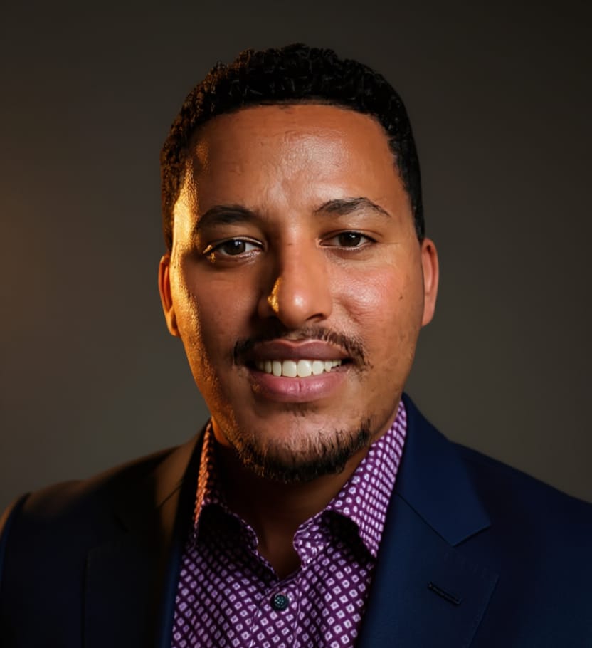
PhD Candidate
Getnet Demil
Jenberia
Geospatial AI & Computer Vision Researcher
Architecting Remote Sensing Solutions for Hydrology & Earth Observation
Center for Machine Vision and Signal Analysis, University of Oulu, Finland
PhD Candidate
Geospatial AI & Computer Vision Researcher
Architecting Remote Sensing Solutions for Hydrology & Earth Observation
Center for Machine Vision and Signal Analysis, University of Oulu, Finland
Who I Am
Doctoral researcher at the intersection of Geospatial AI, remote sensing, and computer vision - building intelligent systems that decode the Earth from sky.
I am a PhD researcher at the Faculty of Information Technology and Electrical Engineering (ITEE), University of Oulu, working at the intersection of Geospatial AI, remote sensing, and computer vision. My research develops deep learning and multimodal fusion frameworks that extract environmental intelligence from multi-sensor Earth observation data - combining SAR, optical, multispectral, and auxiliary data sources to monitor and model our changing planet.
I work across the full EO pipeline: from multi-sensor and multimodal data fusion (Sentinel-1 SAR, Sentinel-2, DEM, reanalysis) to computer vision architectures for semantic segmentation and scene understanding, through to adapting geospatial foundation models for downstream environmental tasks. Applications span hydrology, land cover mapping, environmental change detection, and climate impact assessment.
My academic path spans six countries - BSc and MSc at Bahir Dar University (Ethiopia), an Erasmus Mundus Joint MSc in Image Processing & Computer Vision across France, Spain, and Hungary, and research secondments at RISE Sweden and University of Florida TREC. I am co-organising the HydroImaging Workshop at IEEE ICIP 2026 (Tampere, Finland) and contribute actively to the GeoAI community through publications, open-source tools, and conference presentations.
Deep learning and multimodal fusion architectures applied to multi-sensor satellite data - enabling intelligent environmental monitoring, geophysical parameter retrieval, and large-scale scene understanding.
EU-funded EMJMD scholarship in Image Processing & Computer Vision, studying at three top European universities across France, Spain, and Hungary.
Co-organising the HydroImaging Workshop - mining imaging data for hydrological & environmental modelling - Sep 2026, Tampere, Finland.
Studied and conducted research across Ethiopia, France, Spain, Hungary, Finland, Sweden, and the United States - bringing a truly global perspective.
Latest Updates
Research milestones and stories from the blog.
AquaNord-SE: A Large-Scale Longitudinal Multimodal Benchmark for Swedish Inland Water Quality
Md Moinul Islam, Getnet Demil, Mourad Oussalah · Proceedings of the 35th ACM International Conference on Information and Knowledge Management (CIKM '26), pp. 1743–1754 · DOI: 10.1145/3799682.3840989 · Dataset
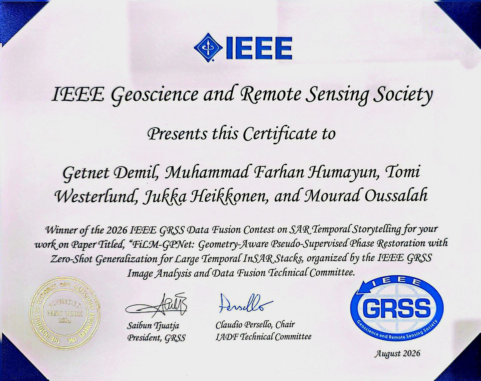
Data Fusion Contest Award Ceremony at IGARSS 2026
2026 IEEE GRSS Data Fusion Contest on SAR Temporal Storytelling · Evaluated across 39 global sites · With Muhammad Farhan Humayun, Tomi Westerlund, Jukka Heikkonen, Mourad Oussalah
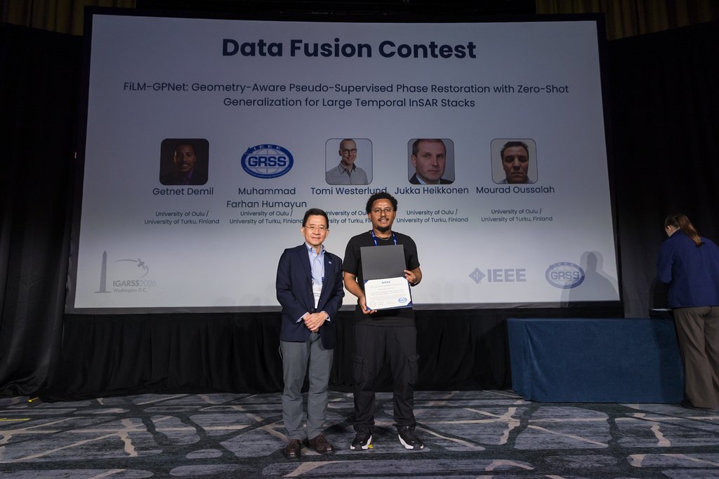
DetailsPresented FiLM-GPNet at IGARSS 2026
IEEE Geoscience and Remote Sensing Symposium · Washington, D.C.
DetailsResearch Scholar at University of Florida TREC
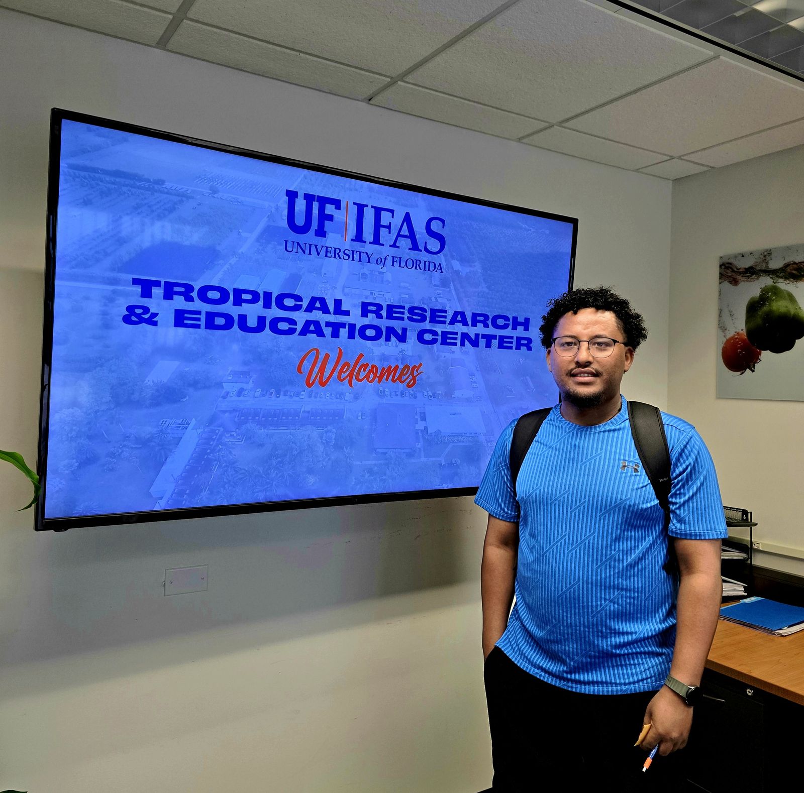
3-month research visit hosted by Dr. Haimanote Bayabil · Tropical Research and Education Center (TREC), Homestead, FL · CMVS International Research Visit Program
DetailsNew Paper Published - XFuse: Multi-sensor CNN transformer fusion with cross attention and quality aware curriculum learning for high resolution fractional snow cover mapping
Now available on Google Scholar · View citation
HydroImaging Workshop - IEEE ICIP 2026
Co-organiser · "Mining Imaging Data for Hydrological & Environmental Modelling" · Tampere, Finland, Sep 2026
HYDRO-DATASET: A MULTI-MODAL OPEN-SOURCE PIPELINE FOR NORDIC HYDROLOGICAL RESEARCH AND FOUNDATION MODEL BENCHMARKING
Getnet Demil, Moinul Islam, Mourad Oussalah · Satellite Workshop at IEEE International Conference on Image Processing 2026 · Dataset on Zenodo
Winner - IEEE GRSS 2026 Data Fusion Contest
Our team won the IEEE GRSS Data Fusion Contest 2026 · Contest page · Winner announcement
FiLM-GPNet: Geometry-Aware Pseudo-Supervised Phase Restoration with Zero-Shot Generalization for Large Temporal InSAR Stacks
Getnet Demil, Muhammad Farhan Humayun, Tomi Westerlund, Jukka Heikkonen, Mourad Oussalah · 2026 IEEE International Geoscience and Remote Sensing Symposium · University of Oulu, Finland / University of Turku, Finland · DOI: 10.1109/IGARSS60577.2026.11730186
Paper Presented at EGU 2026
Presented at EGU General Assembly 2026 · Abstract 1 · Abstract 2
CrossFuse at Digital Waters Flagship Biannual Meeting
Aalto University, Espoo, Finland · CNN-Transformer fusion of Sentinel-1 SAR & Sentinel-2 for snow cover estimation
Paper Presented at DIGeMERGE 2025
Digital Emergency Communication Conference · ML approach for AI-enhanced emergency communication ecosystems in Nordic countries
Paper at Nordic AI Climate Workshop, Copenhagen
Nordic Workshop on AI for Climate Change, Copenhagen, Denmark · AI-enhanced snow & cloud segmentation with DeepLabv3+
Attended CVPR 2025 - Nashville, Tennessee
IEEE/CVF Conference on Computer Vision and Pattern Recognition · Music City Center, Nashville, TN, USA
Paper Accepted - Earth Science Informatics (Springer, Q1)
"Seeing through the clouds: enhanced snow and cloud segmentation in Sentinel-2 imagery with mDeepLabV3+" · DOI: 10.1007/s12145-025-01950-6
Systematic Review - Journal of Hydrology (Elsevier, Q1)
"Advances in image-based estimation of snow variables: A systematic literature review on recent studies" · DOI: 10.1016/j.jhydrol.2025.132855
Paper Presented at SIGIR 2024 Workshop
Workshop on Information Retrieval for Climate Impact · Washington DC, USA · "Leveraging Social Media for Real-time Monitoring of Local Climate Impact"
2026 IEEE GRSS Data Fusion Contest on SAR Temporal Storytelling · Evaluated across 39 global sites · With Muhammad Farhan Humayun, Tomi Westerlund, Jukka Heikkonen, Mourad Oussalah
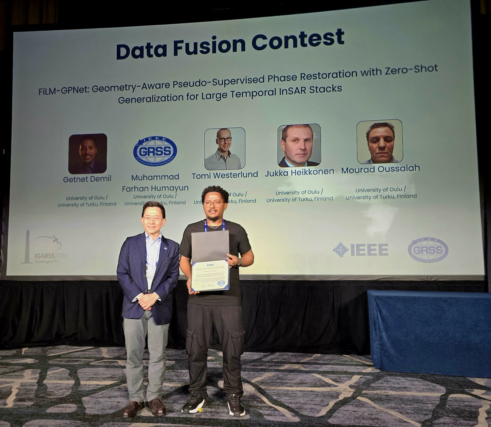
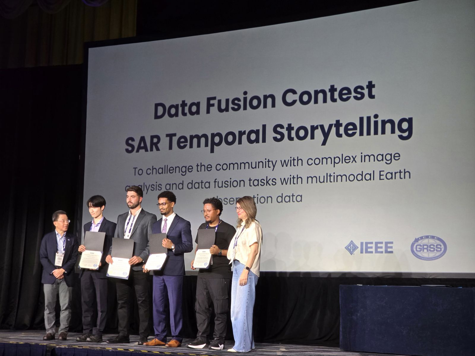
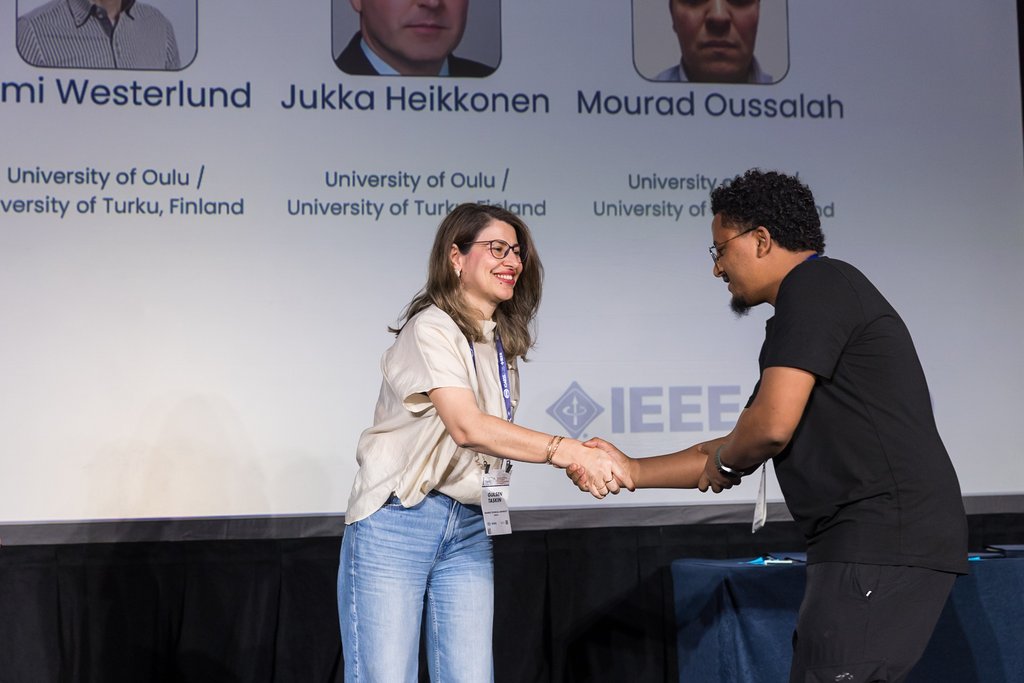
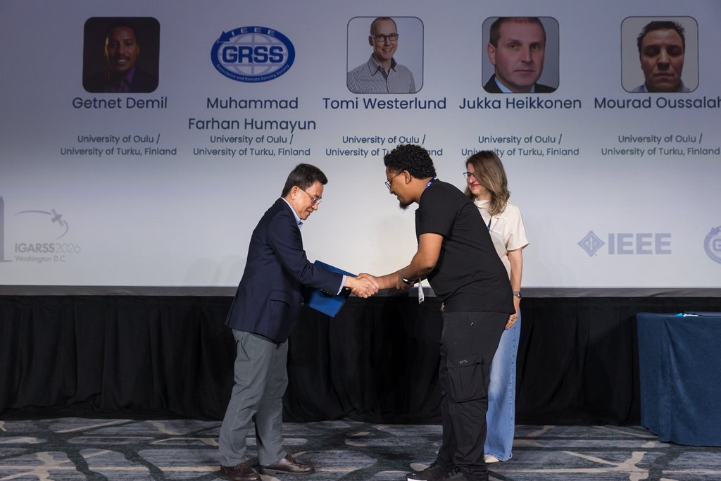
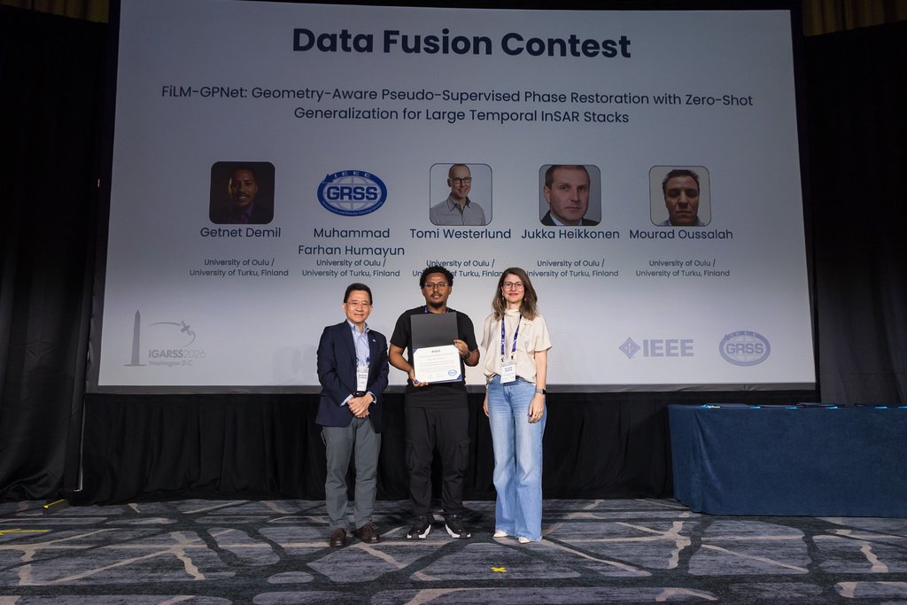
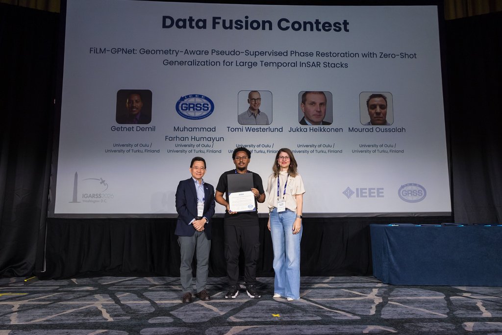
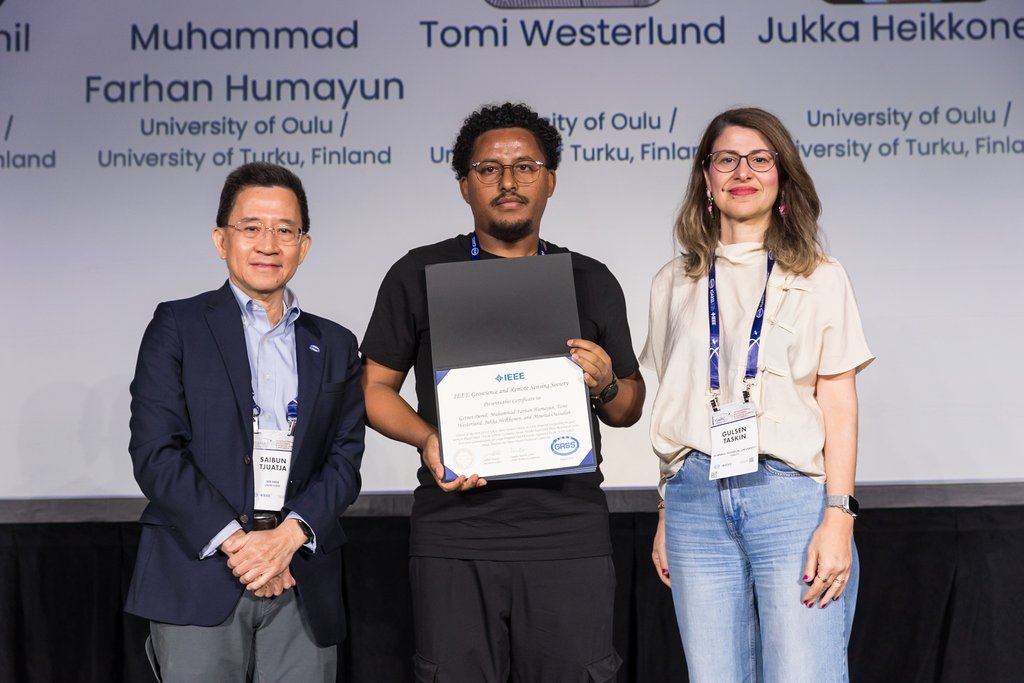
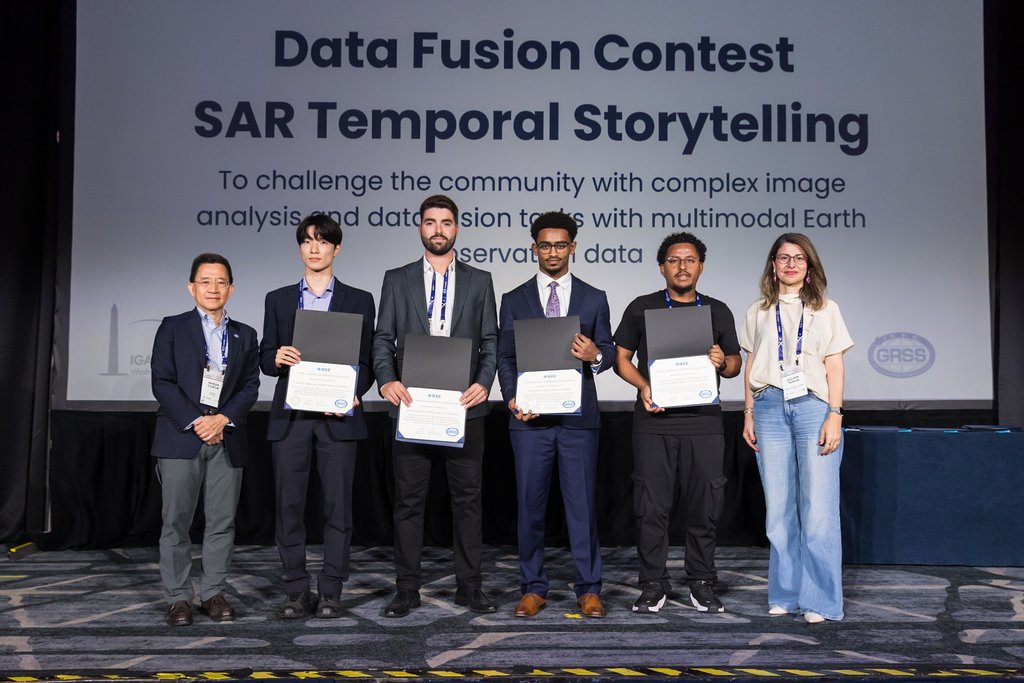
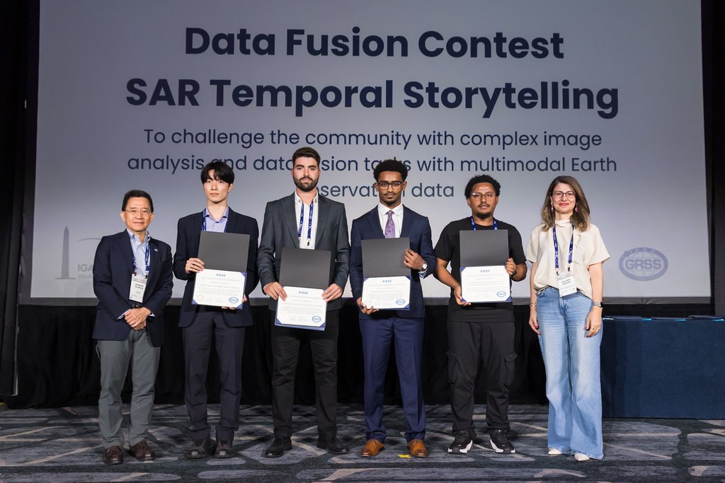
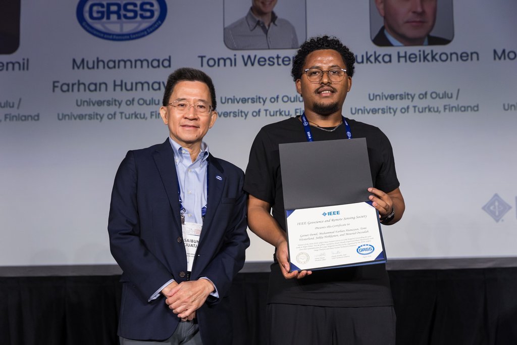

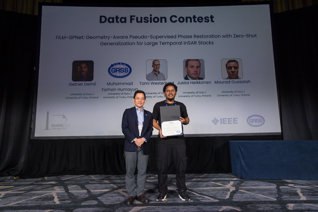
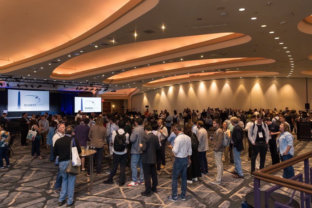
IEEE Geoscience and Remote Sensing Symposium · Washington, D.C.
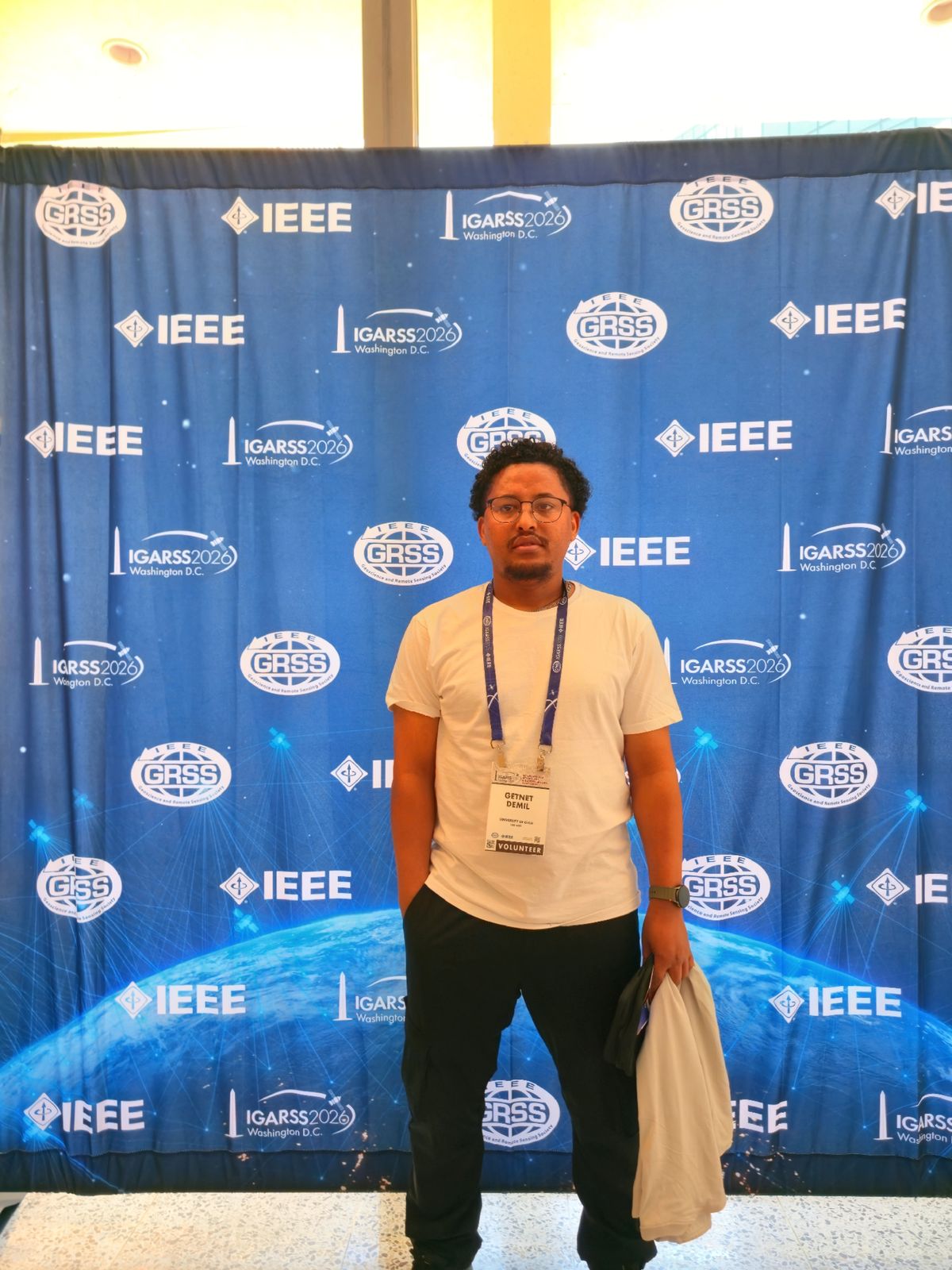
3-month research visit hosted by Dr. Haimanote Bayabil · Tropical Research and Education Center (TREC), Homestead, FL · CMVS International Research Visit Program
What I Study
Applying AI and multi-modal satellite data to advance understanding of the cryosphere and water cycle.
Developing CrossFuse, a hybrid CNN-Transformer architecture that fuses Sentinel-1 SAR and Sentinel-2 optical imagery to produce high-resolution snow cover and water equivalent estimates for runoff prediction.
Designing mDeepLabV3+ with dilated convolutions and a ResNet backbone to reliably separate snow from clouds in Sentinel-2 multispectral imagery, enabling year-round snow monitoring for water resource management.
Leveraging NLP and social media analytics for real-time local climate impact monitoring, and building AI-enhanced early warning systems that improve emergency communication across Nordic countries.
Advancing the shift from raw satellite data toward decision-ready insight: applying AI, multimodal fusion, and geospatial foundation models to turn Earth observation streams into predictive, actionable intelligence for environmental monitoring, early warning, and resource management.
Designing scalable AI pipelines for large-area Earth observation, from pixel-level classification to geophysical parameter retrieval across diverse landscapes and sensor modalities.
Specialising in snow cover mapping, fractional snow estimation, and hydrological parameter retrieval using multi-sensor satellite archives at continental scale.
Cross-modal learning architectures that jointly process SAR, optical, multispectral, thermal, LiDAR, DEM, and climate reanalysis data, unlocking richer scene understanding than any single source.
Semantic segmentation, object detection, and scene understanding tailored to satellite and aerial imagery, addressing scale, illumination, and spectral complexity.
Fine-tuning and adapting large geospatial foundation models (SAM, DINOv2, SatMAE, Prithvi) to downstream EO tasks: change detection, land cover, and parameter retrieval.
Multi-temporal satellite analysis for hydrology, flood mapping, land use change, vegetation dynamics, and long-term cryosphere and ecosystem monitoring.
Selected Work
Selected research and engineering projects, from satellite image analysis to assistive robotics and climate AI.
Hybrid CNN-Transformer architecture fusing Sentinel-1 SAR and Sentinel-2 optical imagery for high-resolution snow cover and snow water equivalent estimation. Integrates spectral band optimisation, cross-modal attention, and transfer learning for high-latitude, snow-dominated landscapes.
GitHubEvaluated whether Sentinel-2 and SPOT 6/7 satellite imagery can retrieve root-zone soil moisture in a 32-plot precision-irrigation field experiment at UF/IFAS TREC. Built a four-tier validation pipeline (ground probes, UAV multispectral/thermal imagery, high-resolution satellite, Sentinel-2) across three growing seasons and 334K+ sensor readings to isolate whether retrieval limits were resolution-, spectral-, or physics-driven, rather than reporting an ambiguous accuracy figure.
Research visit, University of Florida IFAS TREC, Homestead, FL
Modified DeepLabV3+ with a ResNet-50/101 backbone for snow-cloud segmentation in Sentinel-2 multispectral imagery. Introduces dilated convolutions and domain-adapted training to reliably separate snow from cloud cover, a persistent challenge in remote sensing.
Paper (ESI)Real-time NLP pipeline mining social media streams to detect and monitor local climate impact events. Integrates transformer-based text classifiers with geo-tagged post analysis to identify floods, droughts, and extreme weather episodes as they unfold.
ACM DLCo-organising the HydroImaging Workshop, “Mining Imaging Data for Hydrological and Environmental Modelling”, in Tampere, Finland, September 2026. Featuring a keynote by Prof. Kevin Tansey (Univ. Leicester), oral and poster sessions, and panel discussions.
Workshop SiteComputer vision system for automated protozoan disease detection using a custom-built microscopy platform. Achieves real-time classification of blood-borne pathogens, reducing diagnostic time in resource-limited clinical settings. Awarded Best Project, Bahir Dar University 2018, and Best 50 African Projects, Africa Innovation Week 2019.
Africa Innovation Week 2019, Best 50 African Projects
EU consortium research project developing 6D pose estimation for individuals with upper-limb disabilities. Implemented DenseFusion (joint point cloud and RGB processing) for accurate object pose recognition in unstructured environments, enabling robotic arms to assist users who cannot perform grasping tasks independently.
GitHubResearch Output
9 publications · 50+ citations - journals, conference papers, and preprints in AI, remote sensing, and hydrology.
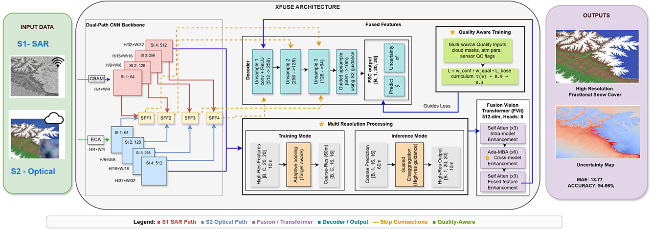
Multi-sensor CNN-transformer fusion with cross attention and quality-aware curriculum learning for high-resolution fractional snow cover mapping.
Paper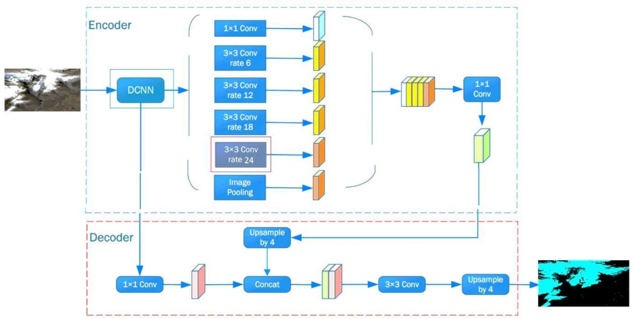
Modified DeepLabV3+ with dilated convolutions and a ResNet backbone for snow-cloud segmentation in Sentinel-2 multispectral imagery.
Paper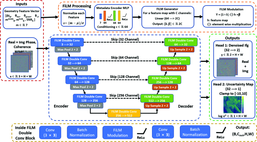
Geometry-aware pseudo-supervised phase restoration with zero-shot generalization for large temporal InSAR stacks.
PaperISPRS Journal of Photogrammetry and Remote Sensing, Elsevier, 2026 · DOI: 10.1016/j.isprsjprs.2026.05.028
2026 IEEE International Geoscience and Remote Sensing Symposium, May 2026 · University of Oulu, Finland / University of Turku, Finland · DOI: 10.1109/IGARSS60577.2026.11730186
Satellite Workshop at IEEE International Conference on Image Processing 2026, June 2026 · Dataset: Zenodo, DOI: 10.5281/zenodo.20287300
AquaNord-SE: A Large-Scale Longitudinal Multimodal Benchmark for Swedish Inland Water Quality
Proceedings of the 35th ACM International Conference on Information and Knowledge Management (CIKM '26), pp. 1743–1754 · DOI: 10.1145/3799682.3840989 · Dataset: DOI: 10.23729/fd-b932bcb9-1705-379e-9f47-0c0af9cbaba9
Journal of Hydrology, Elsevier, 2025 · DOI: 10.1016/j.jhydrol.2025.132855
Earth Science Informatics, Springer, 2025 (In Press) · DOI: 10.1007/s12145-025-01950-6
Chapter 7 in AI and ML in Early Warning Systems for Natural Disasters (Bentham Books) / Advancements in AI and ML for Early Warning Systems in Natural Disaster Detection (Apple Academic Press), 2025 · the book is not open access, so listed here as a preprint: arXiv:2506.18926
AI-Enhanced Snow and Cloud Segmentation in Sentinel-2 Imagery Using Dilated DeepLabv3+ with ResNet Backbone
Nordic Workshop on AI for Climate Change, Copenhagen, Denmark, 2025
Leveraging Social Media for Real-time Monitoring of Local Climate Impact
SIGIR 2024 Workshop on Information Retrieval for Climate Impact, Washington DC, USA · DOI: 10.1145/3769733.3769737
Community & Skills
Workshop organisation, conference activities, and professional contributions to the research community.
HydroImaging Workshop Co-Organiser
Keynote by Prof. Kevin Tansey (Univ. Leicester)
Technical Programme Development
CVPR 2025 - Nashville, TN, USA
DIGeMERGE 2025 - Presenter
Digital Waters Flagship 2025 - Presenter
SIGIR 2024 Workshop - Presenter
Python · PyTorch · TensorFlow · Google Earth Engine · GDAL · QGIS · Docker · HPC
 Google Earth Engine
Sentinel-1 SAR
Sentinel-2 Optical
SNAP
 GDAL / Rasterio
 QGIS
 GeoPandas
Xarray
 PyTorch
 TensorFlow / Keras
Vision Transformers
CNN Architectures
Semantic Segmentation
Object Detection
 OpenCV
 Hugging Face
 SAM
DINOv2
SatMAE / Prithvi
 Weights & Biases
 Docker
 Git &
 GitHub
 Linux / HPC
 Python
 NumPy / Pandas
 scikit-learn
 MATLAB
 C++ /
 C#
 ROS
 LaTeX
My Journey
Academic training, research positions, international visits, and professional experience across five countries.
Doctoral Researcher (PhD Candidate)
University of Oulu - Finland. Developing AI-driven methods for satellite image processing to determine snow water characteristics.
Current PositionComputer Vision Research Associate
University of Oulu, Finland. Established data processing pipelines for hydrological parameter estimation. Developed novel deep learning models for snow-cloud segmentation achieving breakthrough accuracy with the mDeepLabV3+ architecture.
Chief Technology Support
American Space Ethiopia (U.S. Embassy), Ethiopia. Managed technology infrastructure at the American Space cultural centre. Led digital access initiatives, educational programmes, and cross-cultural technology exchange events.
Junior Electrical Engineer
Ethiopian Electric Utility, Ethiopia. Full-time engineering role maintaining and upgrading electrical infrastructure. Applied systems engineering principles across multiple field sites in Ethiopia.
University of Florida IFAS TREC, Homestead, FL, USA
Scale-transfer study evaluating satellite-based (Sentinel-2, SPOT 6/7) root-zone soil moisture retrieval against UAV multispectral/thermal imagery and in-field sensors in a precision-irrigation experiment.
RISE Research Institutes of Sweden, Gothenburg, Sweden
Designed multi-task deep learning architecture for Nordic snow monitoring: joint snow depth estimation, 7-day forecasting, and extreme event detection. Trained on 10 years of operational data (SMHI + MESAN reanalysis).
part of Digital Waters flagship pilot PhDPhD - AI & Remote Sensing for Hydrology Modelling
University of Oulu, Finland. Research focus: deep learning frameworks for snow hydrology parameter estimation using Earth observation data.
Erasmus Mundus Joint MSc - Image Processing & Computer Vision (IPCV)
University of Bordeaux (France) · Autonomous University of Madrid (Spain) · Pázmány Péter Catholic University (Hungary). Specialised in semantic segmentation, object detection, and 6D pose estimation.
Erasmus Mundus Scholarship IPCV Excellence ScholarshipMSc in Communication System Engineering
Bahir Dar University, Bahir Dar, Ethiopia. Advanced study in signal processing, communication systems, digital image processing, and computer vision fundamentals.
BSc in Electrical Engineering (Electronics & Communication)
Bahir Dar University, Bahir Dar, Ethiopia. Capstone: Smart Microscope for Automatic Protozoan Disease Detection - awarded Best Project (Bahir Dar University) and Best 50 African Projects at Africa Innovation Week 2019.
Best Project AwardAsk about Getnet
AI assistant · answers from his research & CV